
Monitoring Rapidly Changing Arctic Ecosystems Using High-Resolution Satellite-Based Datasets and Artificial Intelligence
Texas A&M University (TAMU) X-Grant
A President’s Excellence Fund Initiative

Objective
This pilot project explores the use of Artificial Intelligence to analyze large volume of high spatial and high temporal resolution satellite-based images from the Arctic.
Of particular interest are Arctic soils, which contain vast amounts of organic carbon and nitrogen that are vulnerable to remobilization and emission to the atmosphere under a warming climate.
Impacts of Permafrost Soils
- Cover approximately 19 million km2 of the Arctic landscape.
- Store about 1700 billion tons of organic carbon, equivalent to more than twice the total amount of carbon dioxide that is currently in the atmosphere.
- If released from those frozen soils, it would act as a positive feedback that amplifies climate change.
- The magnitude of future greenhouse gas emissions from permafrost-affected ecosystems remains a large source of uncertainty in Earth System Models.
- Most of the northern near-surface permafrost (top 3m) is predicted to thaw by the end of this century (IPCC, 2013).
Goals
- Generate the first reliable Holarctic map of permafrost-affected ecosystems.
- Address fundamental research questions pertaining to Arctic science.
- Monitor and document rapid changes in permafrost soils and their associated greenhouse gas emissions across the Arctic landscape.
- Improve decision-making that can lead to sustainable Arctic ecosystems
Through the use of:
Presentation of Arctic Bayesian Risk Model at “Arctic Futures 2050″ Conference
This conference was organized by the Study for Environmental Arctic Change Project (SEARCH) in 2019. SEARCH is the Arctic major US consortium for Arctic research sponsored by the National Science Foundation (NSF).


Domain Expertise
Our team combines expertise from five different fields of study

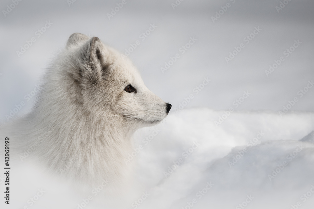
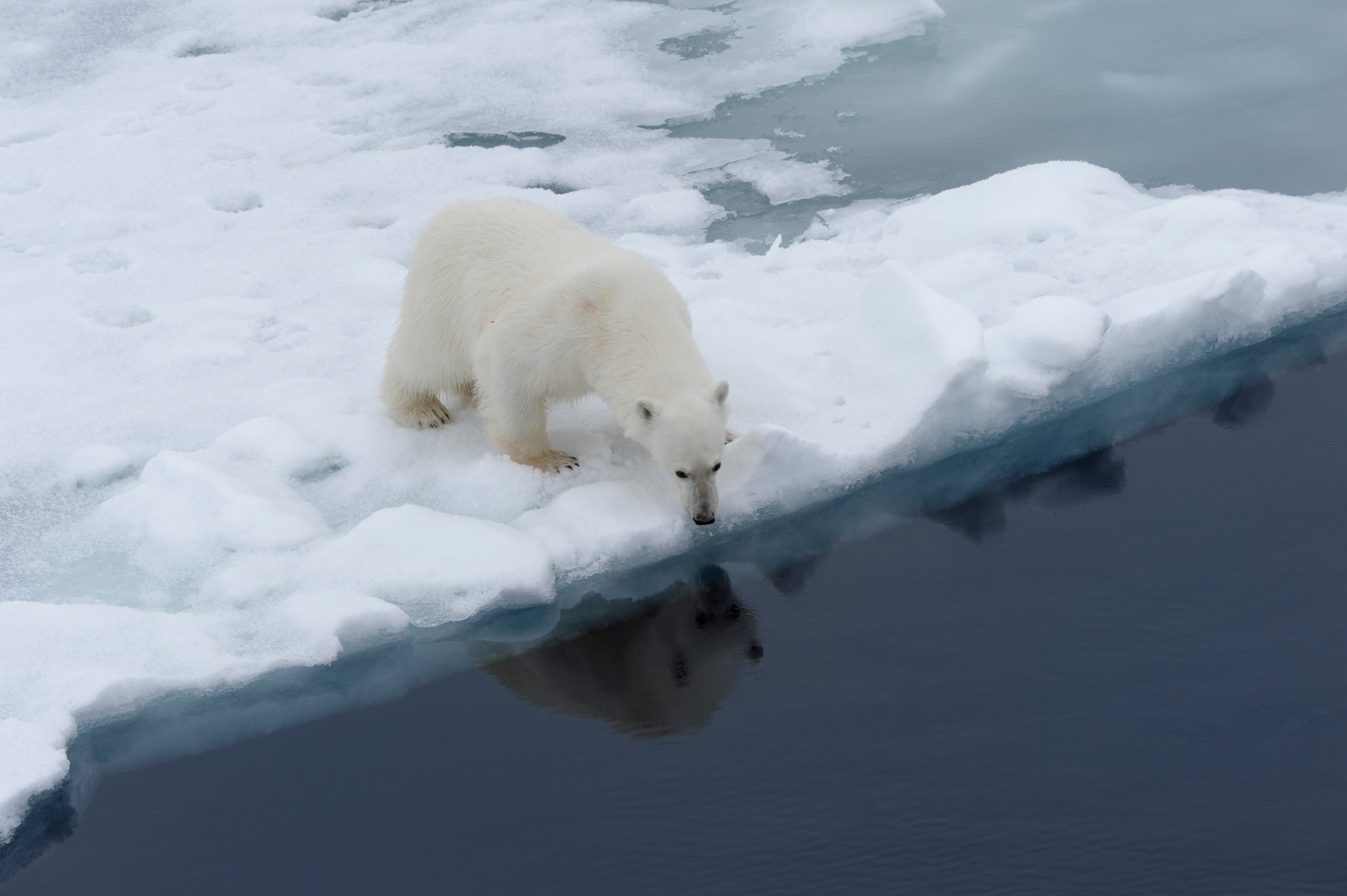
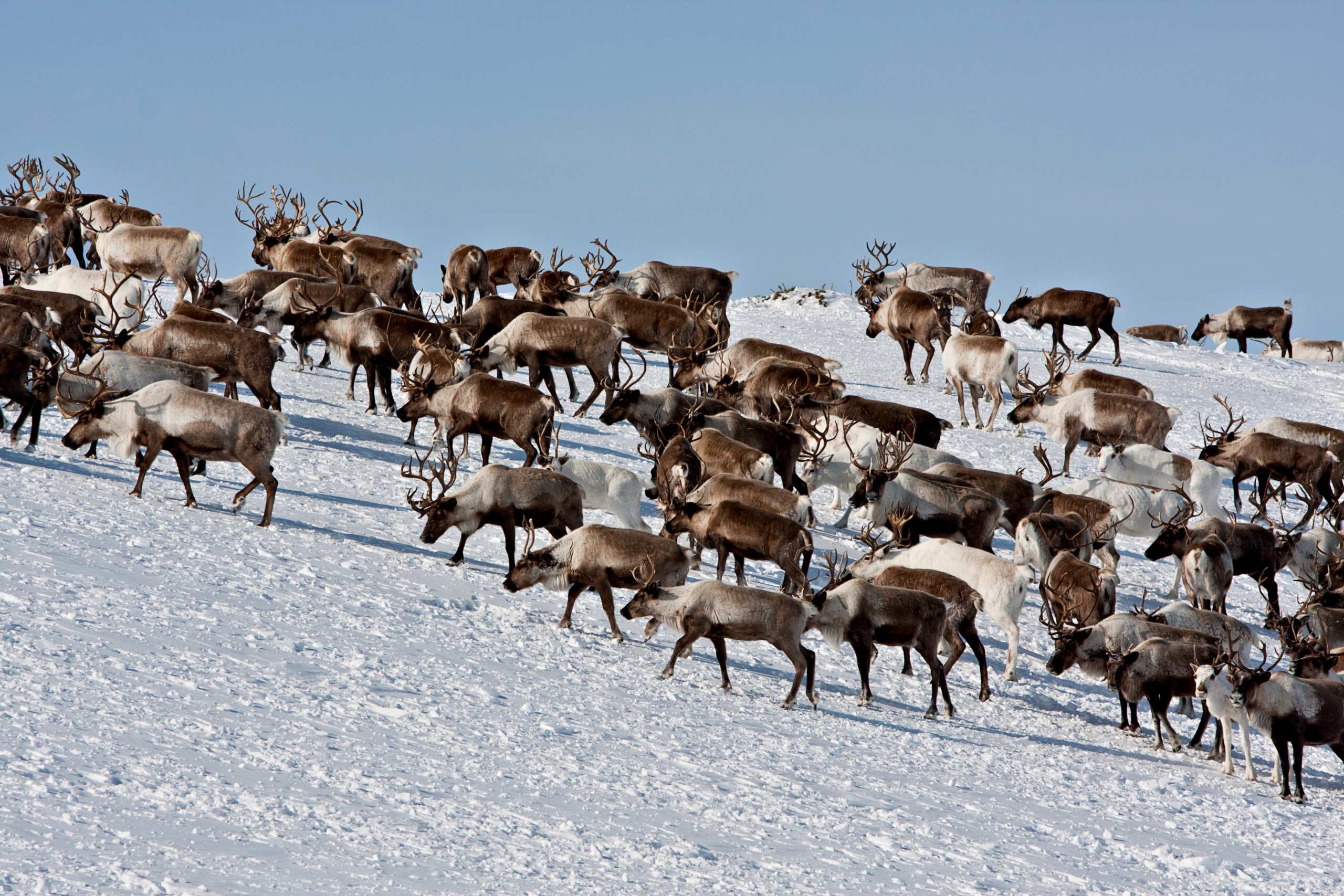
Arctic Research
This novel approach has the potential to transform global ecosystem monitoring
5 most important considerations when testing a new drug
Aliquam sit amet ipsum eu tellus tincidunt commodo. Aenean metus tellus, vehicula at nisl vel, laoreet gravida risus. Integer nec fringilla neque. Vivamus tincidunt dui vitae augue.
How will nano technology change modern medicine?
Suspendisse maximus, quam eget gravida consectetur, mauris urna porta velit, egestas facilisis augue arcu vitae magna. Curabitur rutrum augue augue, non sodales eros porttitor.
Would you trust a machine to perform procedures?
Integer molestie eros at urna sodales pharetra quis vitae diam. Sed quis dui ultrices, suscipit eros quis, faucibus eros. Vivamus lectus nisl, malesuada nec viverra eu, facilisis ut odio.
